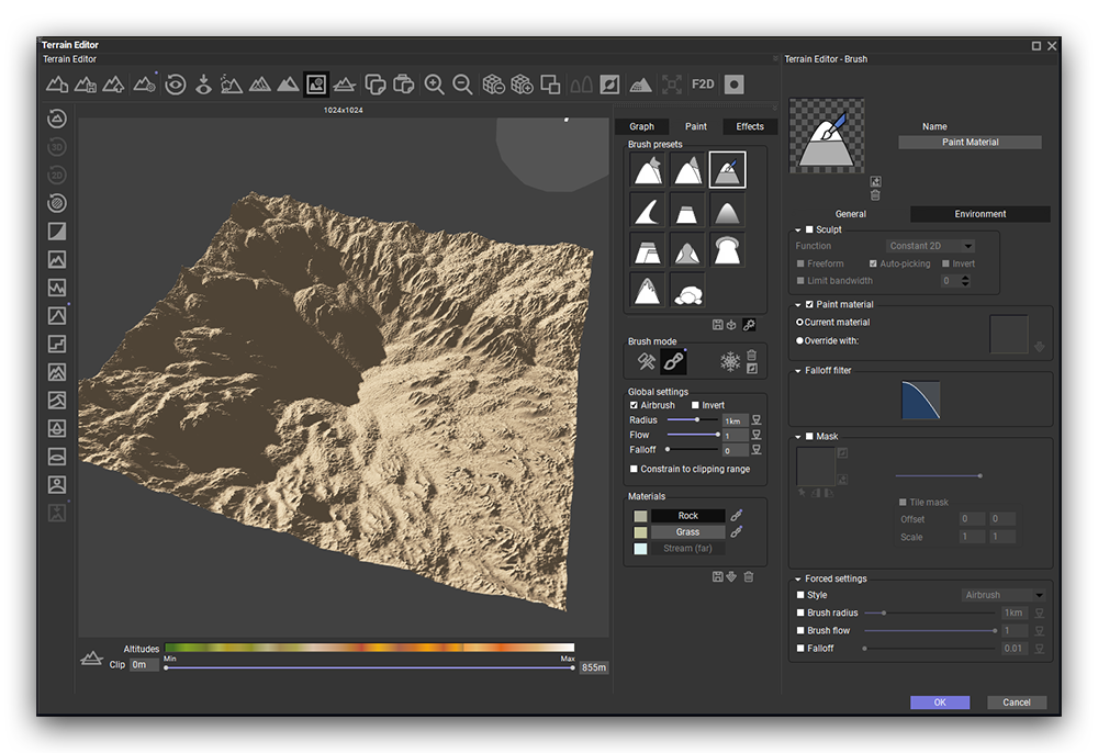
Heightfield & Procedural Terrains
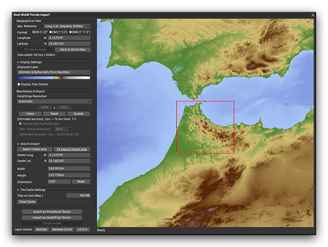
Terrains are available in two versions: heightfield, which uses a fixed resolution, and procedural, which adds infinite fractal detail the closer the camera is. Both terrain types can be driven by a node graph, imported greyscale heightmaps, and 2D or 3D hand-sculpted shapes. Mix and match each of these approaches as needed.
Special terrain fractals, strata, erosion, terracing and blur nodes recreate realistic geological features with fully non-destructive controls. Procedural terrains can be extended in any direction, essentially adding more terrain to the already existing area. Create and extract zones of a procedural terrain as separate terrains into the scene and work only on the extracted localized detail. Terrains can also be displaced through materials to create overhangs, rock outcrops and other 3D detail.